Lynton Convict Depot
Mapping using Terrestrial Laser Scanning and Drones
Samuel Beaver
The use of three-dimensional modelling has become a common as a means of studying, restoring and preserving historical sites, with the methods used for creating the models being laser scanning, aerial photogrammetry and terrestrial photogrammetry. Each of these methods have benefits and drawback that can affect the quality of the models created.
This project details the modelling of Lynton Convict Depot, a historical site in the Western Australia near the town of Northampton, located at latitude 28⁰12’36” longitude 114⁰18’40”, for the Heritage Council of Western Australia. Lynton Convict Depot was founded in 1852 to provide a labour force in the area, initially for the development of public works, and as labourers for free settlers in the area. the Depot was closed in 1856.
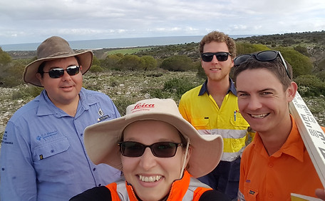
Laser scanning, aerial photogrammetry and terrestrial photogrammetry were used to create models so that they could be compared to determine the most effective method. The data was captured over three days using a Leica C5 & C10 scanner, a Phantom 4 drone, and a Nikon D700 camera. The data was coordinated using real time kinematic global navigation satellite systems from a nearby standard survey mark.


